If you think you can trust a map, think again… Many contain twists and tricks that mean you could be navigating your way to something entirely unexpected.
1. Swisstopo Doodles
For decades, mapmakers for the Swiss Federal Office of Topography (Swisstopo) have been secretly hiding illustrations in official maps: a marmot crouched among the contour lines of the Swiss Alps, a fish nestling in the fringes of a marshy nature reserve for example. Once discovered, these humorous additions are removed, which is rather a shame, we think.
2. Maps as propaganda
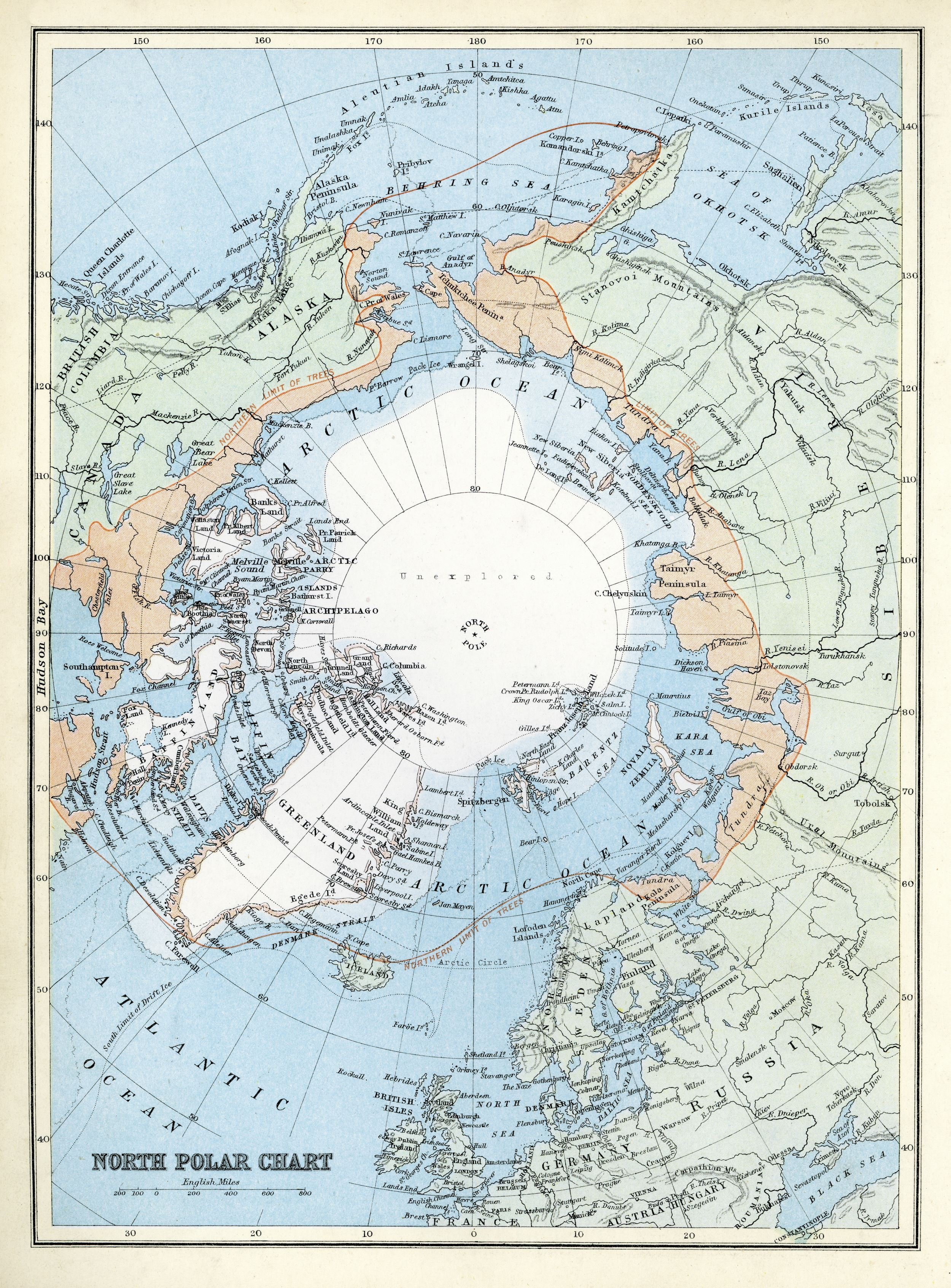
Maps are political and cultural documents, distorted representations riddled with errors, propaganda and mischief. Some depict Greenland as larger than Africa, others include entirely made-up streets.
3. World War II Escape Maps
MI9 British Military Intelligence Officer, Clayton Hutton (known as Clutty) invented silk escape and evasion maps during the Second World War. Based on pre-war Continental touring maps, these were printed on parachute silk (and later rayon) as it was durable, easy to conceal inside the lining of a uniform and didn’t make crinkly noises when sneaking around.
4. Real Life Treasure Maps
In 2023, the National Archives of the Netherlands released a trove of documents declassified after a 75-year confidentiality period. Among them was a hand-drawn treasure map, sketched by four retreating German soldiers who’d buried stolen gold coins and jewels beneath the roots of a poplar tree. To this day, the long-lost Nazi hoard, believed to be worth millions, has never been found.
5. Filling in the blanks
Sometimes what’s not on a map that proves to be just as compelling. Terra Australis (Antarctica) tempted explorers even before it was a big blank space on James Cook’s 1795 map of the southern continents labelled ‘terra incognita’ (Latin for unknown land). Centuries before anyone ever beheld the frozen continent, ancient astronomers and geographers were convinced it existed, with maps from Greco-Roman and Medieval times fuelling a geographical myth that persisted for centuries.
6. Telling tales
Medieval mappa mundi – ancient European maps of the world – blended knowledge with myth, spirituality and cautionary tales. Hereford Cathedral exhibits the largest surviving example. Measuring 5’2” by 4’4”, the map portrays the Garden of Eden at the top and Jerusalem in the centre, while the edges brim with wondrous people and beasts, inspired by early explorers’ tales.
7. Paper Towns
A long-standing problem for cartographers is how to prevent others from plagiarising years of research; the solution is to set a trap. Known as ‘paper towns’ or ‘trap streets’, the London A–Z is said to contain dozens. For a while, Haggerston in Hackney had a non-existent ski-slope next to the city farm.
Our map secrets are taken from our ‘Know A Thing Or Two pages on maps in our June issue by
Jo Tinsley. Read more from page 83.
Buy this month's The Simple Things - buy, download or subscribe


